Talk to Brad about Cornell

A national park on Cornell’s doorstep The Rouge Rouge National Urban Park

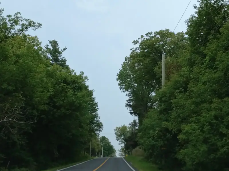
A two-lane country road between tall trees: Reesor Road

Reesor Road

Freeevery day of the year

Rouge National Urban Park begins just east of Reesor Road, a short drive from Cornell’s front porches.  It is a national park, looked after by Parks Canada, with farm fields, woods, creeks and trails, and you can walk in any day of the year.

Markham, Ontario.  East of Reesor Road and Donald Cousens Parkway, along the city’s whole eastern edge.

A national park, next door

The Rouge stretches from Lake Ontario up to the Oak Ridges Moraine.  In Markham it runs the length of the city’s eastern edge, from Steeles Avenue to north of 19th Avenue.

  • 2015

    Protected by its own Act of Parliament since 2015, and run by Parks Canada.

  • Free

    No entry fee, 365 days a year.  Parking at the Markham lots is free too.

  • 7:30 to 9

    The parking lots open at 7:30 am and are locked at 9 pm, every day.

  • On a leash

    Dogs are welcome on a leash and under control at all times.  Bring water and waste bags for them.

  • Close to 80 km²

    Of farm fields, woods, wetlands and creek valleys, with working farms inside the park.

Things to do all year

  • Hiking and walking
  • Birding on the Little Rouge
  • Boardwalks
  • A picnic area
  • Working farms
  • Old hamlets
  • A skyline view

About a dozen trails cross the Markham side, and the Northeast Trail has boardwalks.  Parks Canada’s plan for the Markham side centres on its farm and hamlet heritage, around Locust Hill and Cedar Grove, and the high ground at 19th Avenue looks south to the Toronto skyline on a clear day.

The park is open all year.  The washrooms at Black Walnut and 19th Avenue are open 8 am to 8 pm from the May long weekend to 31 October, and 8 am to 5 pm the rest of the year.

Getting in from Cornell

Most of the entrances near Cornell are to the east and south-east.  One, the 19th Avenue day use area, is due north.

The way infrom CornellN

Map data © OpenStreetMap contributors

Highway 7 and Bur Oak
Rouge National Urban Park

Walking in.  We found no signed walking or cycling route from inside Cornell into the park, so the easiest way in is a short drive to one of the lots.

By bus.  Parks Canada’s directions to Bob Hunter Memorial Park take YRT route 14 to Vettise Avenue, then about a 20-minute walk along 14th Avenue.

On the map the red dashed line is the park’s boundary as OpenStreetMap draws it, and the dotted lines are its trails.  Distances are in a straight line from Highway 7 and Bur Oak Avenue; by road they are longer.  Parks Canada lists Bob Hunter Memorial Park, Black Walnut and 19th Avenue as its Markham visitor areas.

A park entrance for Cornell

The City’s Cornell Rouge National Urban Park Gateway Study pictures the east end of Highway 7 as Cornell’s way into the park.  Council endorsed it on 11 February 2020 as a framework for a walkable gateway between Cornell Centre and the park.

The gatewayas the study pictures itN

Map data © OpenStreetMap contributors

Cornell Centre
Rouge National Urban Park

Each sticker sits where the study places the idea.  None of it has been designed in detail or built.  The red dashed line is the park’s boundary as OpenStreetMap draws it.

Where it stands

The planned gateway is a vision the City endorsed, not a funded project.  As of November 2026 no public record we could find shows any part of it funded, designed or built: not the promenade, not the bridge and not the welcome area at Highway 7 and Reesor Road.

The City’s 2020 report expected the welcome area to be finished by 2021, and it has not appeared.

The draft plan for Cornell Centre, dated January 2025, carries the gateway forward as policy, with block plans for the land near the park and Parks Canada consulted.  That draft has not been adopted, and it does not mention the bridge.

Step by step

Last checked

  1. The draft Cornell Centre Secondary Plan includes gateway policies for the land near the park.  It has not been adopted.

  2. Development Services Committee adds the gateway study’s policies to the update of the Cornell Centre plan, and Council follows on 12 June.

  3. City staff report that York Region plans a path on Donald Cousens Parkway that would link Markham’s Rouge Valley Trail to the park, and that Parks Canada’s long-term plan is to bring its trail south from 16th Avenue.

  4. Council receives a draft agreement between Parks Canada, York Region and the City, in confidence, and refers it to staff.

  5. Committee notes the trail links that may be needed to reach the park, including one from Cornell’s green space to Reesor Road that would need a pedestrian bridge.

  6. Council endorses the study as a framework for a gateway for people on foot between Cornell Centre and the park, and asks the City, York Region, the Province and Parks Canada to work together on Highway 7, Reesor Road and the bridge.

  7. Development Services Committee hears the study from City staff and the consultants, and adopts its recommendations.

  8. SvN Architects and Planners complete the Gateway Study for the City, after a public information meeting in April.

  9. Council asks for a gateway study, following a three-day design workshop held in November 2015.

What it means for Highway 7

Highway 7 is Cornell’s main road, and the gateway would change its east end the most.  Between Donald Cousens Parkway and Reesor Road the study pictures two traffic lanes with a planted median near Reesor, a 4-metre path for walking and cycling on each side, and buildings that step down toward the park.

  • Three owners

    York Region owns Highway 7 to just east of Donald Cousens Parkway, the Province owns it from there east, and Reesor Road belongs to the City.

  • Landmark corners

    The January 2025 draft plan names Highway 7 at Ninth Line, Donald Cousens Parkway and Reesor Road as landmark gateways, where new buildings and public spaces are expected to stand out.

  • Side streets

    In the same draft, the new blocks along this stretch take their driveways from side streets, laneways or Reesor Road, not from Highway 7 or Donald Cousens Parkway.

The buildings planned along Highway 7 further west, around the hospital, have a page of their own.
Cornell Centre in detail

Living close to the park

Curious which Cornell streets are closest to the trails, or what is planned along Highway 7?  Brad is happy to talk it through, along with the homes for sale nearby.

Sources: the City of Markham (the Gateway Study staff report of 27 January 2020, Council and committee minutes, and the draft Cornell Centre Secondary Plan of 20 January 2025) and Parks Canada’s pages for the park, checked 17 November 2026.